by David Jonas Bardin
At first I noticed only one surveyor, and asked, “What’s going on?”

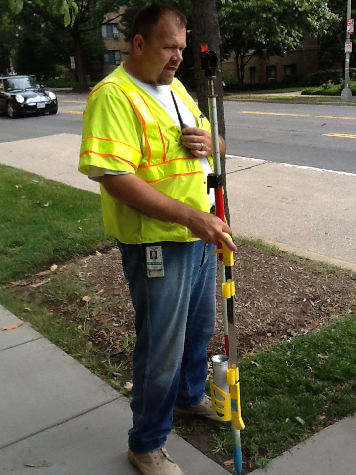
He was Cal Somers from DC Water’s Engineering Department, assigned to prepare a super-accurate map of water pipes under Brandywine Street. Why? Because in a couple of years DC Water plans to replace a water main, with taps to dozens of customer homes, in the middle of the street.
Cal said he would be in the area for some time, so I went back upstairs to get my iPad-camera and photograph him at work.
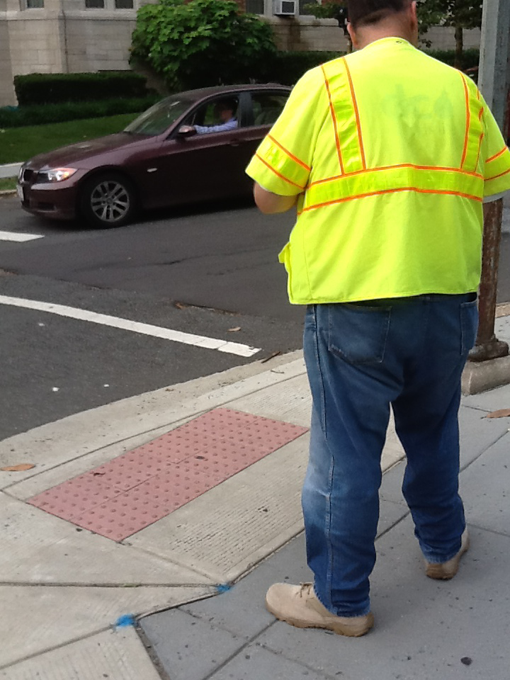
I listened to and watched Cal at work. He dictated and recorded specific surface locations being surveyed – marking each with a blue dot (up to 800 each day).
Global positioning surveys require two people. Cal’s partner, Gary Baldwin, on the other side of Connecticut Avenue, operated equipment that accesses DC Water’s existing GIS maps of facilities.
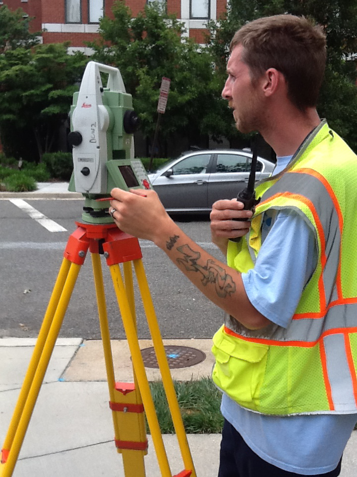
Cal will “connect the dots” and survey data to create more accurate maps: GIS maps (which depend on aerial photos) are accurate to about two feet. Global positioning maps which depend on communication with satellites, are accurate to hundredths of a foot.
DC Water teams, like Cal (an Engineer Tech III) and Gary (a Survey Tech II) work all over the city. More accurate maps will let DC Water work better when it replaces old water mains under its Capital Improvement Program schedules. Of course such maps will come in handy, too, when property owners need to make a new connection (as well as in some unplanned emergencies).